Hiking off the marked trail
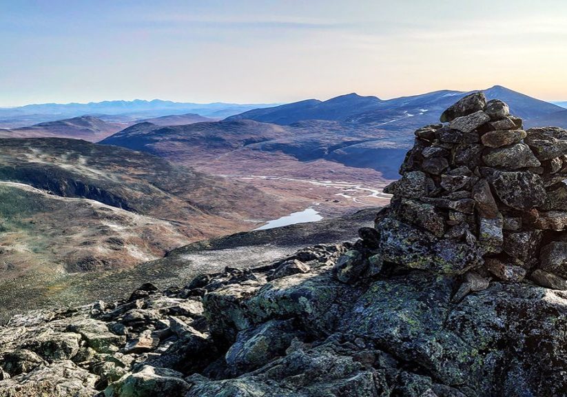
There are also opportunities for hikes in slightly more challenging terrain, without necessarily involving climbing. During a short or long day's hike, you can reach 17 of the highest peaks in Norway. Some are easy and well-known destinations, while others may involve a slightly more challenging hike, perhaps with a bit of scrambling in steep terrain.
Some relevant destinations:
Styggehøe, Store Memurutind, Lauvhøe, Spiterhøe, Ryggehøe.
Common to these peaks is that there is no marked trail to the top, so it's wise to familiarize yourself with the route through a knowledgeable guide first.

Styggehøe (2213)
Styggehø is the prominent neighbor just south of Spiterstulen, and it's a great peak to ascend. There are several different routes up to Styggehø, but the easiest route goes via Bukkeholet. From Spiterstulen, you walk to Reinsspranget where you cross the river Visa on a narrow bridge. From there, the hike continues off the marked trail southwards and up along Bukkeholsbekken to Bukkeholet. From Bukkeholet and up, you must find a good way up the slope to the summit, which is located at the far west of the massif. The easiest return follows the same route, and early in the summer, it can offer great sledding down to Bukkeholet under good snow conditions. An alternative route up follows the northernmost ridge, north of the bowl where there's a small glacier. Follow this ridge all the way up to point 2180, and maintain the elevation from there to reach the summit. This route is considerably more exposed and may require roping up for safety. In addition, one may be obstructed by a large cornice preventing access to point 2180. This is a hike we guide from Spiterstulen in good weather and dry conditions, so feel free to contact Spiterstulen Bre,- og Fjellføring if you're interested.
Store Memurutind (2364)
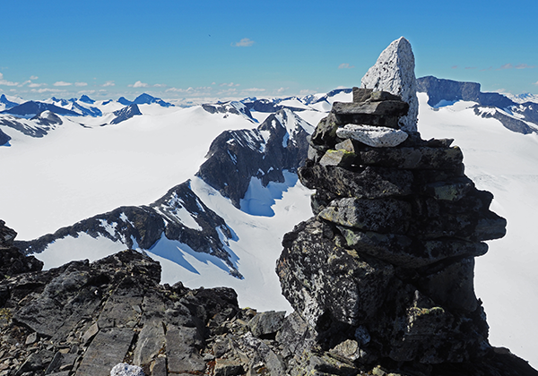
Store Memurutind is Norway's 8th highest peak, and it has one of the most beautiful summit points in this part of Jotunheimen. From the summit, you have a beautiful view, towards both Galdhøpiggen and Gjende, and there is also a guest-book inside the cairn. The easiest route up follows the trail into Visdalen and further into Heilstugudalen. Before reaching Heilstugubreen, you leave the trail and start working your way up the long, steep slope to Veoskaret. Here, the slope can be somewhat loose, and you need to be careful not to dislodge rocks onto each other. From Veoskaret, you follow the slope southward up another ascent until you reach a plateau at about 2300 meters above sea level. From this plateau, you follow another ridge eastward, which narrows towards the summit point. This can feel airy. Same route down. An alternative route up involves crossing Djevelbreen instead of going via Veoskaret. Djevelbreen is a steep, small glacier that must be crossed with regular glacier equipment, and at the back of the glacier, you'll find a gully that leads up to the plateau at 2300 meters above sea level. This is a more varied and exciting route than the normal one, but it is recommended to go with a guide, as the route is both steep and crosses Djevelbreen. The route requires glacier equipment. The normal route down.

Ryggehøe (2142)
Ryggehø is a prominent peak in the middle of Skautflya. The route follows the trail towards Glitterheim up from Visdalen and onto Skautflya. After passing Glitterrundhø, you veer off the trail to the left and begin working your way up towards the peak. Eventually, this becomes a distinct ridge that narrows and steepens somewhat towards the peak. The easiest route down from the summit is the same way up, but it's also possible to descend the east side and down to Glitterheim. Ryggehø is known for offering the best views of Skautflya.
Leirhøe (2330)
Leirhø is Norway's highest hø! A "hø" is a flat mountaintop, but on Leirhø, one must be very attentive to the fact that there is a gigantic cliff with a large cornice directly east of the summit. Since the summit is flat and covered in snow for much of the year, it can be difficult to discern when you've reached the top if visibility is poor. There have been accidents here before. The route from Spiterstulen goes into Visdalen until you reach Leirgrovi, from there you follow it upwards until it starts to steepen. From there, you follow the large ridge directly south of Leirgrovi, which is steep at the beginning but flattens out towards the top. If you're not satisfied, it's possible to turn south towards Veoskaret and Store Memurutind, or north towards Spiterhø and Skauthø. If not, you simply take the same route back home.
Something for everyone
For those with a bit of experience and a sense of adventure, there are, of course, opportunities available as well. There are several fantastic hikes that require a bit more in your backpack than a simple walk. We won't delve into climbing routes here, as that's an entirely separate category. Some of the longer, more demanding hikes we can mention include:
Uradalsryggen, Heilstuguryggen, and the Svellnosbreen circuit.
These are advanced tours that require safety equipment and preferably a good amount of experience. These are merely indicative tour descriptions. For more accurate descriptions, you should consult the book "Climbing Guide for Jotunheimen" and talk to some of our local experienced guides. Absolutely, the best option is to join our guides on a tour when the weather and conditions are suitable for these long hikes.
Urdadalsryggen
Urdadalsryggen is a long, airy ridge traverse with a lot of scrambling. In certain sections, it may also be necessary to use ropes and safety gear. The hike follows the trail toward Leivassbu until you reach the river from Urdadalen. You follow it up to Urdadalen. Here you cross the river and begin the ascent towards Store Urdadalstind (2216). This slope gradually turns into a ridge that you follow more or less all the way to the top. A little distance before the top, there is a very airy passage of about ten meters. From the top, you can return the same way if you see that time or energy doesn't allow for the entire ridge. If not, you continue along the ridge southward over 2-3 primary peaks before ending up at the back of Urdadalen. The ridge is both steep and airy, and one should be experienced to find a good route. If you don't find the best route, it can be quite challenging. Inside Urdadalen, there are a couple of small lakes where you can take a swim before following Urdadalen and Visdalen back to Spiterstulen.
