Visdalen
In lush nature at 1111 meters above sea-level
Spiterstulen sits at 1111 meters above sea-level by the tree-line in the sheltered and lush Visdalen. From national road 55 in Bøverdalen, there is an 18 km private toll road from Røisheim to Spiterstulen. The road is approved for all types of vehicles except camping trailers, buses, and other vehicles over 6 meters. Spiterstulen is a popular starting point and endpoint for hikers traveling from cabin to cabin in Jotunheimen.

Looming mountains on all sides
Spiterstulen is located in the heart of Jotunheimen, surrounded by rugged mountains and wild glaciers on all sides. Visdalen, with the river Visa, stretches all the way from the watershed at Visbreen, past Spiterstulen, and down to Bøverdalen near Røisheim. Out of a total of 26 peaks higher than 2000 meters, a whopping 17 can be climbed on day trips from Spiterstulen. The routes to Galdhøpiggen (3-4 hours) and Glittertind (4-5 hours) can be safely completed without a guide in good weather. Other 2000-meter peaks with Spiterstulen as a natural starting point include Skarstind (5-6 hours), Styggehø (3-4 hours), Uradalstind (3-4 hours), Heilstugutindene (4-5 hours), Memurutindene (4-5 hours), Leirhøe (3-4 hours), and Surtningssue (6-7 hours). The time estimates are for ascent only; the return journey usually takes half the time. The landscape around Spiterstulen is characterized by glaciers, and daily guided tours are arranged to the famous Eventyrisen on Svelnosbreen. The guide provides crampons and ropes. For hikers traveling from cabin to cabin, it's natural to include Spiterstulen in the itinerary from Juvasshytta (3 hours), Leirvassbu (5 hours), Olavsbu (8 hours), Gjende (7-8 hours), and Glitterheim (5 hours/7 hours over Glittertind).

Visdalen - a lush and floral mountain valley
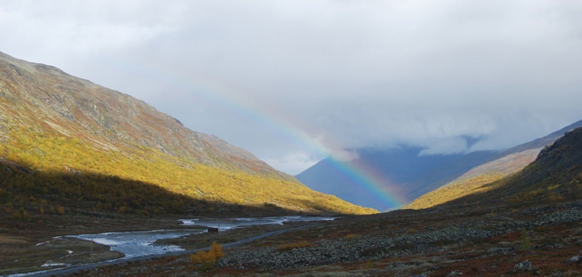
Here you will find a rich flora, babbling brooks, overgrown animal burrows, and legendary mountain farm ruins that invite you to enjoy lovely short hikes. From Bøverdalen at Røisheim, Visdalen cuts straight south into the landscape and deep into Jotunheimen. From Bøvra at Røisheim, at an elevation of 500 meters above sea level, it's about thirty kilometers further in to Kyrkjeglupen at 1500 meters above sea level, and the watershed where the valley slopes down again towards Leirvassbu and Leirdalen. Geologically, Visdalen cuts like a V-shaped side valley into Bøverdalen. Further up, the glaciers have carved it into a U-shaped valley, and the Visa River is a typical flood river with a large sediment load from tributaries carrying deposits from the glaciers. In the valley bottom, you'll find the highest pine forest in the country. The valley may seem desolate, but with a keen eye, you can find countless traces of a mysterious past. There are legends of people and activities, of iron mining, charcoal burning, hunting, and mountain farming. An ancient soapstone mine forms the basis for settlement at Smiugjelsøygarden, which Vera Henriksen has used in the novel series about Bent Jonson from the 16th century. A separate guide for Visdalen has been prepared, available for purchase at the tourist information center in Lom or at Spiterstulen. Signs have also been set up along the road indicating the various points covered in this guide. (Source: Torgeir T. Garmo, Lomsførar).

